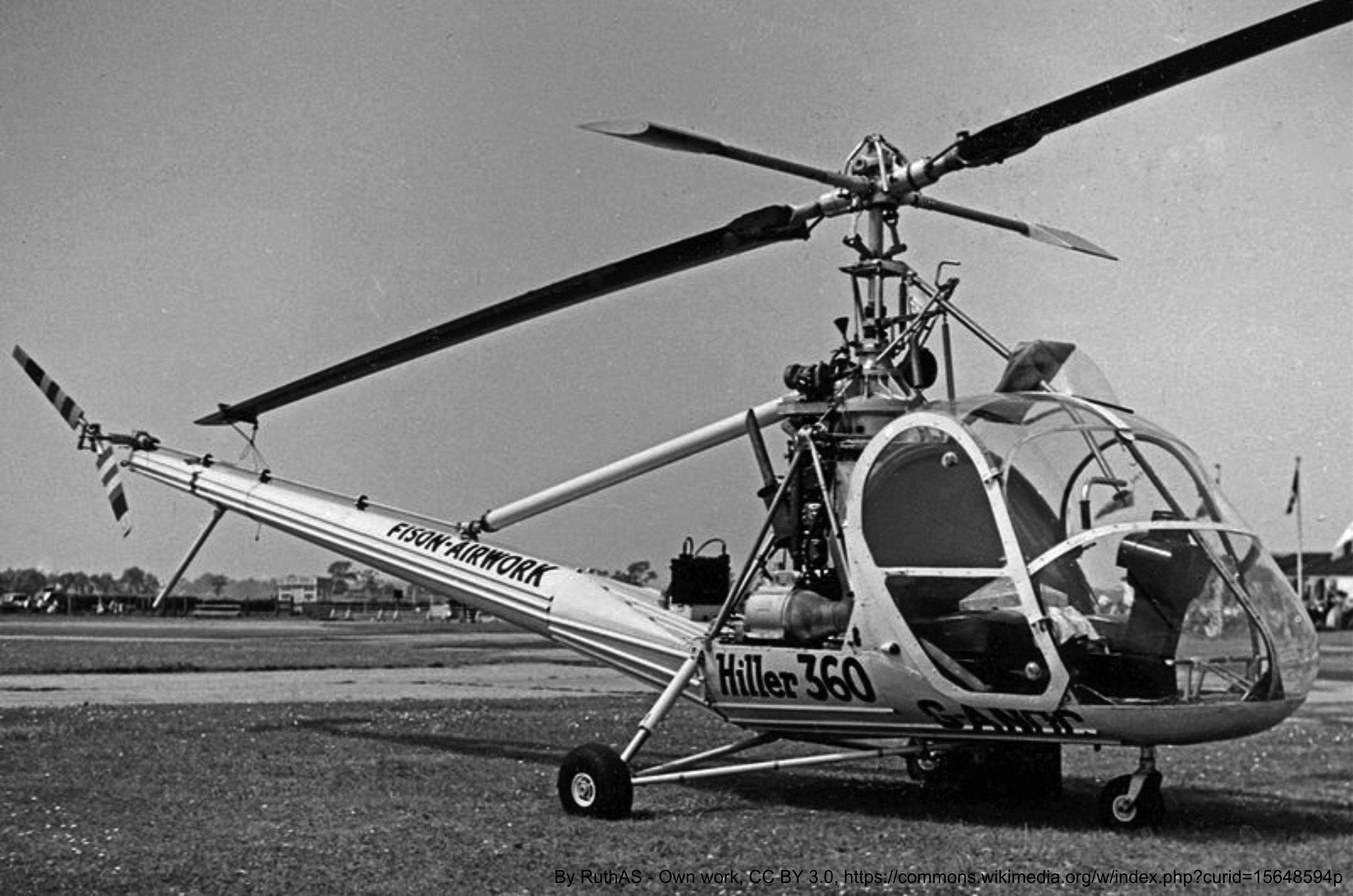
The Geological Survey of Canada first used helicopters to support its 1952 Operation Keewatin, which was designed to map a 147,000 square kilometre area west of Hudson Bay. Two Hiller model 360 aircraft were used to fly traverses for geological mapping and to land the geologists where they needed to examine outcrops and collect rock samples.
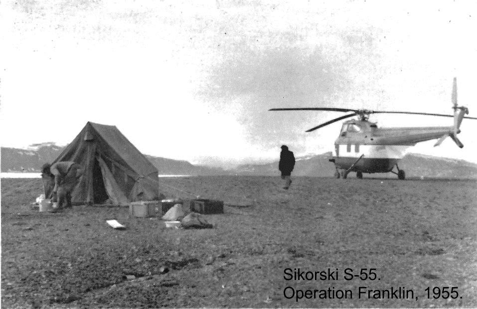
The success achieved by the use of helicopters for Operation Keewatin led to the planning of more helicopter-based operations in other remote and inaccessible parts of the country. The most ambitious was the 1955 Operation Franklin during which the Survey mapped and studied almost 260,000 square kilometres in the Canadian Arctic Islands using two Sikorsky model S-55’s.
The Survey’s Chief Geologist Clifford Lord (1954-1973) conducted an analysis of the astounding impact of the helicopter. He reported that within the span of six short years, 1952 to 1958, the Survey had mapped about half as much of Canada at a reconnaissance scale as had been mapped in the previous 110 years – and this was thanks to the helicopter.
Category: Fieldwork
Decade: 1950s
References