
May 21, 2024
When it comes to illegal, unreported, and unregulated (IUU) fishing, it’s important that Canada is not in the dark. IUU fishing contributes to marine habitat destruction and declining fish stocks, representing up to 26 million tonnes of fish caught annually. Defence Research and Development Canada (DRDC), in collaboration with Fisheries and Oceans Canada, is helping to mitigate IUU with a program to detect vessels that conceal their activity, also known as “dark vessels.”
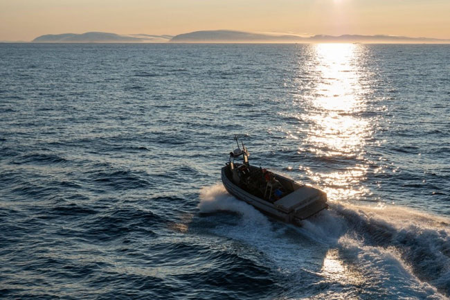
The Multi-Role Rescue Boat is launched in order to rescue a training mannequin during a simulated Person-Overboard event, in Smith Sound, Nunavut. Photo: Pte Brendan Gamache, Canadian Armed Forces Photo
These “dark vessels” typically switch off location transmitting devices, called the Automatic Identification System (AIS), to evade monitoring, control, and surveillance. The Dark Vessel Detection program uses satellite technology to locate and track these vessels from above.
“When vessels are not reporting their location but are identified by other means, they are considered ‘dark’,” states Adrienne Turnbull, defence scientist at DRDC’s Centre for Security Science. “These dark vessels can have major negative impacts on food security, especially in smaller communities, so it’s important to be able to track their activity.”
The research project, led by MDA Space, was able to repurpose data analysis tools previously developed with DRDC as the basis for the new Dark Vessel Detection program.
The new data aggregation tool enables the tracking of dark vessels by comparing data received from vessels’ location transmitters to real-time satellite data. Discrepancies between the two data sources would indicate that a ship has disabled location transmission.
Since the deployment of the dark vessel detection platform, DRDC has supported the program by evaluating different data sources and their capacity for analysis and aggregation of satellite data. This included the National Oceanic Atmospheric Administration and radio frequency geolocation satellites.
As well as enabling improved maritime search-and-rescue, security, and defence at home, the program will provide small island nations and coastal communities such as Ecuador’s Galapagos Islands with satellite data and analysis capabilities to reinforce and protect their fish stocks.